

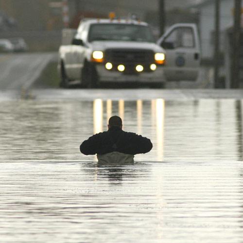
This is the highway I drove most days to get to school. The town's off in the trees, and I lived up a hill behind where the photo ends.

I'm pretty sure I know where this house is, and I'll lay you good odds that I went to school with their kids.
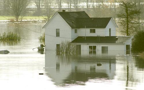
The river reportedly crested around 34 feet and ate most of the downtown area.
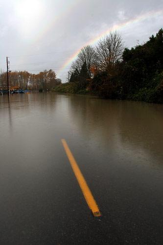
Note the "flood water area" sign. This is the second prominent photo I remember involving our signs. The first, from the big flood 10 years ago, showed a water-covered landscape with half a yellow sign poking out that said, "Warning: Flood --" Helpful, those government signs.

I used to drive this road to my volunteer jobs, although only during college -- when I graduated from the local high school in 1999, the road was *still * closed due to flood damage from 1995.
2 comments:
Yikes.
It's all starting to go back down now and reveal the true extent of the damage. It's been an ugly week.
Post a Comment